Fix External Rclone Connection Refused — Troubleshoot rcd Access with RcloneView
· 3 min read

When RcloneView cannot reach your external rclone server, the cause is almost always one of five things you can check in minutes.
RcloneView ships with an embedded rclone, but many users point it at an external rclone running on a NAS, VPS, or AWS EC2 instance through the Connect Manager. When that link fails with "connection refused", a timeout, or an authentication error, a short checklist finds the cause.
Manage & Sync All Clouds in One Place
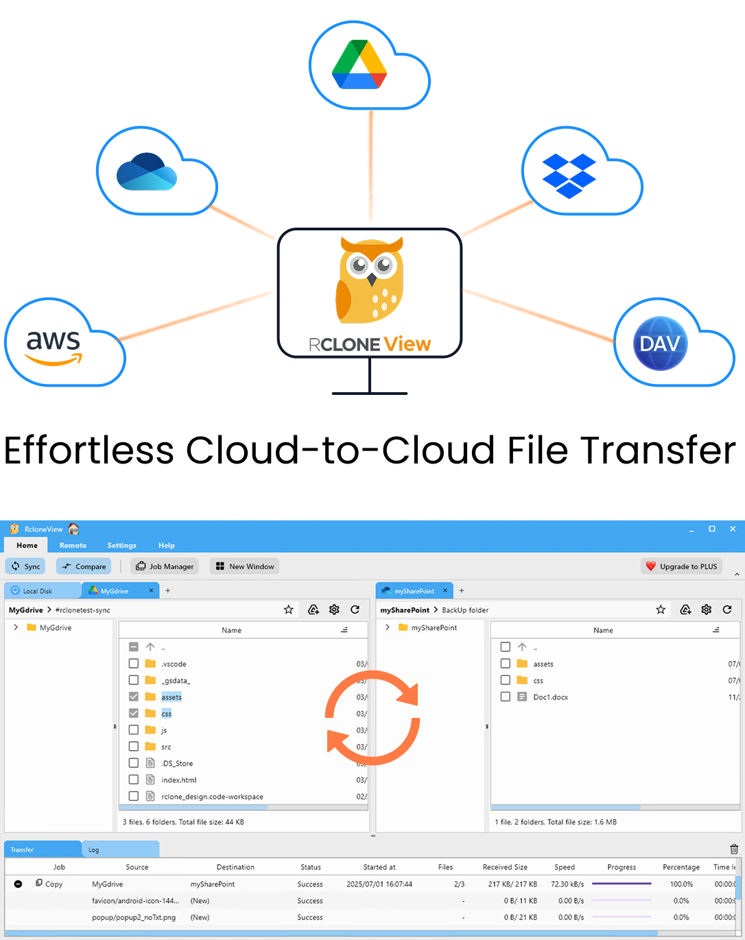
RcloneView is a cross-platform GUI for rclone. Compare folders, transfer or sync files, and automate multi-cloud workflows with a clean, visual interface.
- One-click jobs: Copy · Sync · Compare
- Schedulers & history for reliable automation
- Works with Google Drive, OneDrive, Dropbox, S3, WebDAV, SFTP and more
WindowsmacOSLinux
Get Started Free →Free core features. Plus automations available.


